Where are tsunamis likely to flow in Porirua, and what does that mean for where you put buildings? This is the question EQC has funded GNS scientist Dr Wendy Saunders to investigate.
“Porirua City Council is one of the first in the country to ask for precise information on where and how a tsunami is likely to flow and they have joined with EQC to co-fund the project,” says Dr Saunders.
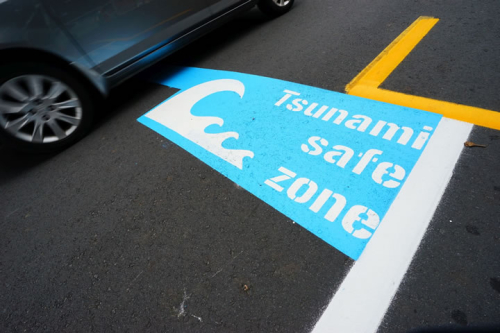
“There is a ‘tsunami line’ and that’s good for evacuation, but it doesn’t tell you the detail of how the water is likely to flow around the contours of the area, or how it is likely to run back into the ocean.
It also only tells you where the water might get to in a very big tsunami, but most tsunamis will be smaller, and we’d like to understand the likelihood of different places being affected. It’s this more detailed information that will help make decisions about where to put buildings like emergency services, and whether particular land should be built on at all.
Since the Japanese tsunami that same year though, we have learnt so much more about how tsunamis behave on land that an update to the guidelines is needed. We also learnt from Japan that to help people be safe, you can’t rely on warnings once a tsunami happens, you need to have evacuation plans and use land use planning to lower risk beforehand.
“Here in the Wellington region we’ve now got a lot of good data from the ‘It’s our Fault’ project looking at natural hazard risks in the area. That, combined with Porirua land data and new modelling technology mean we should be able to give an assessment of tsunami risk at a much more precise level.”
Dr Saunders says the project is not necessarily about stopping development in areas inside a tsunami evacuation zone.
“It’s about getting smarter about what buildings we’re putting where, and reducing the risks to people. For instance, being able to look at a particular spot to see tsunami effect will help figure out where buildings that will be critical after a tsunami like fire stations and police stations should be.”
Dr Hugh Cowan, EQC General Manager Resilience, says as well as delivering detailed maps for Porirua City to use in land use planning, the project will show other councils how they can do the same thing.
“We know that there are quite a few councils that want to understand more about tsunami risk, but haven’t been sure how to go about it. The work of Dr Saunders and her team will be widely shared,” he says.
Dr Saunders says she appreciates Porirua City’s support in leading the way. “Though you don’t immediately think of Porirua City as high tsunami risk, it has a lot of coast and inlets that could be affected by tsunami from faults we know about offshore in Kapiti, and a very large movement in the Hikurangi subduction zone could also affect the city.”
EQC funds $16 million of research each year to reduce the impact of natural disaster on people and property. This project is funded through an EQC Biennial Research Grant.
Disclaimers and Copyright
While every endeavour has been taken by the East Coast Lab Hikurangi Subduction Zone M9 to ensure that the information on this website is
accurate and up to date, East Coast Lab Hikurangi Subduction Zone M9 shall not be liable for any loss suffered through the use, directly or indirectly, of information on this website. Information contained has been assembled in good faith.
Some of the information available in this site is from the New Zealand Public domain and supplied by relevant
government agencies. East Coast Lab Hikurangi Subduction Zone M9 cannot accept any liability for its accuracy or content.
Portions of the information and material on this site, including data, pages, documents, online
graphics and images are protected by copyright, unless specifically notified to the contrary. Externally sourced
information or material is copyright to the respective provider.
© East Coast Lab Hikurangi Subduction Zone M9 - www.eastcoastlab.org.nz / +64 6 835 9200 / info@eastcoastlab.org.nz
