“There’s no avoiding the fact that all of Aotearoa New Zealand is at risk of earthquakes, and all of our coasts are at risk of tsunami. We need to be aware of this risk, and we need to plan how to best get our communities through such an event.”
That’s the message from Hikurangi Response Planning Project Leader Natasha Blunden, who has led the development of a toolbox designed to support regional and national planning for a Hikurangi subduction zone earthquake and tsunami.
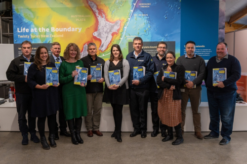
The toolbox, developed by East Coast Life at the Boundary in collaboration with five Civil Defence Emergency Management groups from across the North Island’s east coast, includes a credible magnitude-8.9 earthquake and tsunami scenario developed by GNS Science, to be used as a planning tool to identify the consequences of a large Hikurangi subduction zone earthquake and tsunami.
“Scenario-based planning is a common approach used by emergency managers when planning how to best respond to emergency events,” Ms Blunden explained.
“Credible scenarios help us consider the wide-ranging impacts on things such as key infrastructure, communities and emergency services.
“It’s important to note, however, that while the scenario we used is scientifically credible, it’s just one of many possibilities – scientists cannot predict when or how any real event will occur.”
The two-year Hikurangi Response Planning Project was developed to support the five Civil Defence Emergency Management groups that would be most affected by a large Hikurangi event – Tairāwhiti (Gisborne), Bay of Plenty, Hawke’s Bay, Manawatu-Whanganui and Wellington (including the Wairarapa).
“We know the Hikurangi subduction zone can produce large earthquakes and tsunami, and that these events have occurred in the past,” Ms Blunden said.
Ms Blunden said the toolbox would give emergency managers, local authorities and central government a greater understanding of the risk posed by the Hikurangi subduction zone, and inform regional response planning and decision-making in response to this significant threat.
“While scientists are carrying out more research to build a clearer picture of the hazard posed by the Hikurangi subduction zone, we know a rupture of some size in the future is certain.
“Planning for this certainty will help lift our country’s readiness for, and resilience to, a future earthquake and tsunami on this fault.”
Ms Blunden stressed that although the project was being driven by Civil Defence Emergency Management groups, people still need to make sure they understand the risks they face and prepare themselves.
“We are all responsible for ourselves and our families – we are all part of Civil Defence in New Zealand. And remember, if you feel a long or strong earthquake, don’t wait for an official warning – if it’s long or strong, get gone.”
The Hikurangi Response Planning Project was supported by the Civil Defence Emergency Management Resilience Fund administered by the National Emergency Management Agency.
For more information on how to prepare for an earthquake or tsunami, visit www.getready.govt.nz
For more information on the Hikurangi Response Planning Project, and to access the toolbox, click here
10 February 2023
Disclaimers and Copyright
While every endeavour has been taken by the East Coast Lab Hikurangi Subduction Zone M9 to ensure that the information on this website is
accurate and up to date, East Coast Lab Hikurangi Subduction Zone M9 shall not be liable for any loss suffered through the use, directly or indirectly, of information on this website. Information contained has been assembled in good faith.
Some of the information available in this site is from the New Zealand Public domain and supplied by relevant
government agencies. East Coast Lab Hikurangi Subduction Zone M9 cannot accept any liability for its accuracy or content.
Portions of the information and material on this site, including data, pages, documents, online
graphics and images are protected by copyright, unless specifically notified to the contrary. Externally sourced
information or material is copyright to the respective provider.
© East Coast Lab Hikurangi Subduction Zone M9 - www.eastcoastlab.org.nz / +64 6 835 9200 / info@eastcoastlab.org.nz
