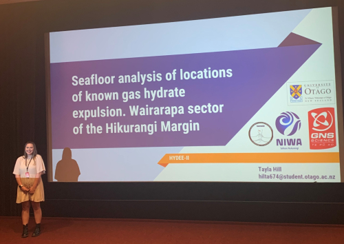
Scientists who study the seafloor use a wide range of data to get a more complete picture of complex natural processes and systems. For seismic related research along the Hikurangi subduction zone, it is important to understand the seafloor processes occurring here as it is a dynamic environment with resource potential. Over the last 12-weeks at NIWA, I’ve enjoyed learning how to combine multiple datasets to help understand the seafloor offshore of Wairarapa.
I’ve been able to characterise the seafloor around sites where gas is bubbling up into the ocean using bathymetry and backscatter data.
Bathymetry data, includes information that builds us a picture of the seafloor through the depths and shapes of the seafloor. Whereas backscatter data helps us understand characteristics of the seafloor such as hardness and roughness by the way the sound “scatters.” Harder surfaces (like rock) reflect more sound and appear white, while softer surfaces (like mud) reflect less sound and appear grey.
When we combine bathymetry and backscatter data we can build a detailed 3D map of the seafloor and the habitats found there.
I have calculated the various physical properties of the seafloor which have helped me look at how steep or flat the seafloor is (slope), the shape of the slope (curvature) how rough the seafloor is (rugosity) as well as the direction features such as landslides tend to face (aspect) using this data.
I have also characterised five sites offshore Wairarapa. These sites had previously been looked at by companies such as NIWA and GNS as they show evidence of seafloor instability in the past, for example, several of the sites are where landslides or slope failure had occurred.
Locations where landslide have occurred are often associated with the release of methane gas in the form of bubbling streams of gas Methane is a gas which is being looked at for its potential to become an alternative fuel source to oil.
We know at some sites methane has been releasing slowly over a long time. At these sites there are rock formations that have built up from the bodies of sea creatures that live at or rely on the methane seep site for food.
If methane is to be used as an alternative fuel source it is important to understand the relationship between methane and the cause of landslides, because as of yet, we still do not know if it is methane, or other factors such as tectonics, sediment type or biology that could be causing or contributing to slope failure.
It is also important we acknowledge Māori values such as Kaitiakitanga, the guardianship and protection of the earth, sea and sky if we are to use methane in the future.
Disclaimers and Copyright
While every endeavour has been taken by the East Coast Lab Hikurangi Subduction Zone M9 to ensure that the information on this website is
accurate and up to date, East Coast Lab Hikurangi Subduction Zone M9 shall not be liable for any loss suffered through the use, directly or indirectly, of information on this website. Information contained has been assembled in good faith.
Some of the information available in this site is from the New Zealand Public domain and supplied by relevant
government agencies. East Coast Lab Hikurangi Subduction Zone M9 cannot accept any liability for its accuracy or content.
Portions of the information and material on this site, including data, pages, documents, online
graphics and images are protected by copyright, unless specifically notified to the contrary. Externally sourced
information or material is copyright to the respective provider.
© East Coast Lab Hikurangi Subduction Zone M9 - www.eastcoastlab.org.nz / +64 6 835 9200 / info@eastcoastlab.org.nz
