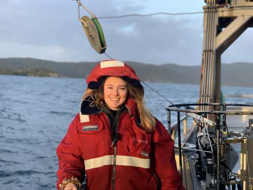
I recently graduated from the University of Otago with a Bachelor of Science double majoring in Geology and Oceanography. Next year, I will be returning to Otago to start a Masters of Geophysics degree.
Before arriving at NIWA for the summer, the only knowledge I had on what I would be doing was the few short paragraphs describing the job. I have been following many of the NIWA scientists on the news, so I was excited to be working alongside them.
As an aspiring marine geophysicist, someone who studies the seafloor, I was immediately drawn to the project 'characterizing deep sea methane seep sites using acoustic data sets'. This means I will be investigating sites at the seafloor where gas is bubbling into the ocean using sound waves to image bubble streams in the water column and map the surrounding seafloor. At university, I had never really worked with acoustic data like this before, so I knew I was in for a challenge.
Multibeam echo-sounders allow us to accurately map a wide strip of the seafloor as the ship travels along by using a ‘swath’ of sound pings that travel through the water and reflect off the seafloor. In addition to mapping the seafloor we can use multibeam echo-sounders to get information about the physical properties of the seafloor by looking at how much energy is reflected back off the seafloor, this is known as backscatter data.
So far at NIWA, I have been using software called ARCGIS pro to look at five study sites offshore of Wairarapa, North Island, New Zealand. This computer program enables me to identify different features of the seafloor, whether that be an underwater landslide, volcano or simply just the way the sand builds up in different areas of the seafloor.
I have been working under the joint supervision of Dr Sally Watson and Dr Joshu Mountjoy, two scientists here at NIWA, as part of the ‘Economic Opportunities and Environmental Implications of Energy Extraction from Gas Hydrates’ (HYDEE) project.
They have helped me understand how features such as landslides have been formed in that area. This is to help understand if the methane gas contained within Wairarapa region could be used as a “bridging fuel” in New Zealand’s transition to a carbon neutral society.
Understanding how the methane seeps in this area interact with the surrounding features such as landslides, canyons and ridges is fundamental if are to ever consider extracting hydrates from beneath the seafloor in this area.
So far, I have created maps of each study site, including ones that have marked out where the areas of highest to lowest slope is, right down to drawing circles around the patches of shells that can be seen gathered around the methane seeps.
Disclaimers and Copyright
While every endeavour has been taken by the East Coast Lab Hikurangi Subduction Zone M9 to ensure that the information on this website is
accurate and up to date, East Coast Lab Hikurangi Subduction Zone M9 shall not be liable for any loss suffered through the use, directly or indirectly, of information on this website. Information contained has been assembled in good faith.
Some of the information available in this site is from the New Zealand Public domain and supplied by relevant
government agencies. East Coast Lab Hikurangi Subduction Zone M9 cannot accept any liability for its accuracy or content.
Portions of the information and material on this site, including data, pages, documents, online
graphics and images are protected by copyright, unless specifically notified to the contrary. Externally sourced
information or material is copyright to the respective provider.
© East Coast Lab Hikurangi Subduction Zone M9 - www.eastcoastlab.org.nz / +64 6 835 9200 / info@eastcoastlab.org.nz
