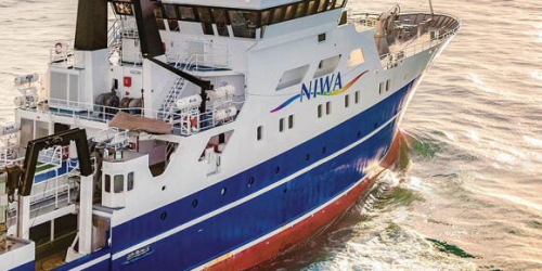
An international team of scientists sets off today onboard NIWA’s specialised research vessel Tangaroa to collect earthquake monitoring instruments from the seabed off the east coast of the North Island, along the Hikurangi subduction zone.
The Hikurangi subduction zone is where the Pacific plate subducts under the Australian plate and is New Zealand’s largest and most active fault.
Seventeen scientists from GNS Science, Victoria University of Wellington, Columbia University in the United States, as well as Tohoku, Kyoto and Tokyo Universities in Japan will be working around the clock to collect the instruments over the next 12 days.
The scientists deployed the instruments last October, and they have been continuously recording the movement of the seafloor off the East Coast, collecting a variety of data over the past year.
Some of the instruments are Ocean Bottom Seismometers; the data collected from these instruments will be used to study and locate small earthquakes happening on the offshore subduction zone.
Other instruments have recorded the pressure at the seafloor due to the overlying ocean, and are sensitive to centimetre-level upward or downward movement of the seafloor during slow-slip events and earthquakes.
“We are really excited to look at what data has been collected over the last year as the instruments were out recording during a large slow-slip event off Gisborne and Hawke’s Bay in April/May earlier this year,” said Dr Laura Wallace of GNS Science.
Slow-slip events are earthquakes that occur over weeks to months and are not felt on land as pressure is released slowly rather than suddenly in an earthquake.
“Lots of small earthquakes also occurred during the 2019 slow-slip event, so the data from the seismometers will be very exciting,” says Victoria University of Wellington PhD student Katherine Woods, who will be working with the data for her PhD studies.
Scientists on board will also be using high-tech equipment to measure the position of seafloor transponders (at a centimetre level) to track the horizontal movement of the seafloor over time, due to tectonic activity along the Hikurangi subduction zone.
This research is being undertaken under a five-year, $6 million MBIE-funded Endeavour project led by GNS Science, with major collaboration and contributions from international partners.
Disclaimers and Copyright
While every endeavour has been taken by the East Coast Lab Hikurangi Subduction Zone M9 to ensure that the information on this website is
accurate and up to date, East Coast Lab Hikurangi Subduction Zone M9 shall not be liable for any loss suffered through the use, directly or indirectly, of information on this website. Information contained has been assembled in good faith.
Some of the information available in this site is from the New Zealand Public domain and supplied by relevant
government agencies. East Coast Lab Hikurangi Subduction Zone M9 cannot accept any liability for its accuracy or content.
Portions of the information and material on this site, including data, pages, documents, online
graphics and images are protected by copyright, unless specifically notified to the contrary. Externally sourced
information or material is copyright to the respective provider.
© East Coast Lab Hikurangi Subduction Zone M9 - www.eastcoastlab.org.nz / +64 6 835 9200 / info@eastcoastlab.org.nz
